
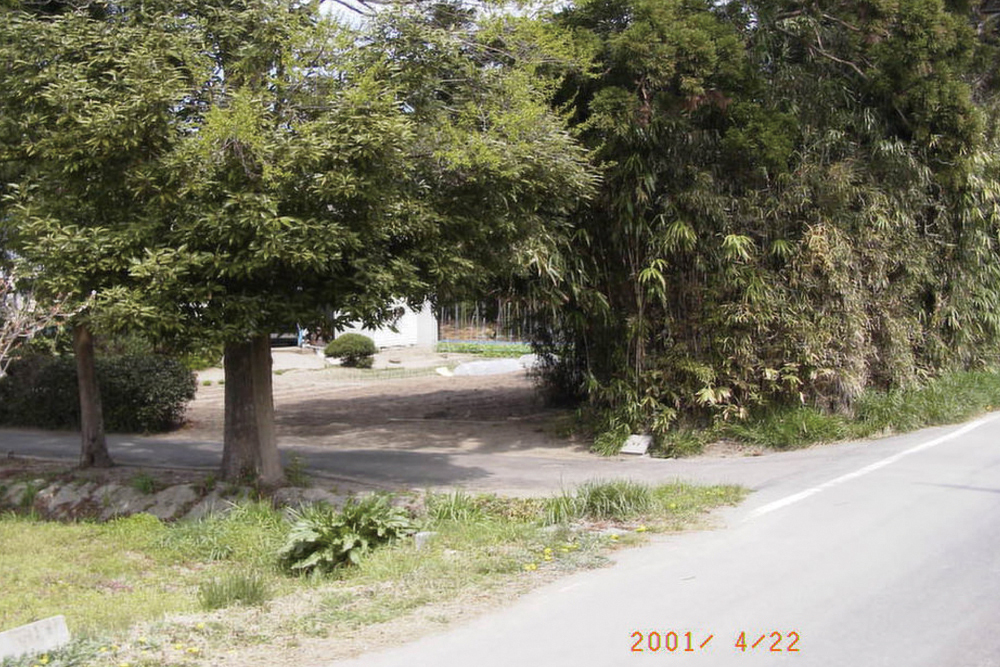
2001年4月22日
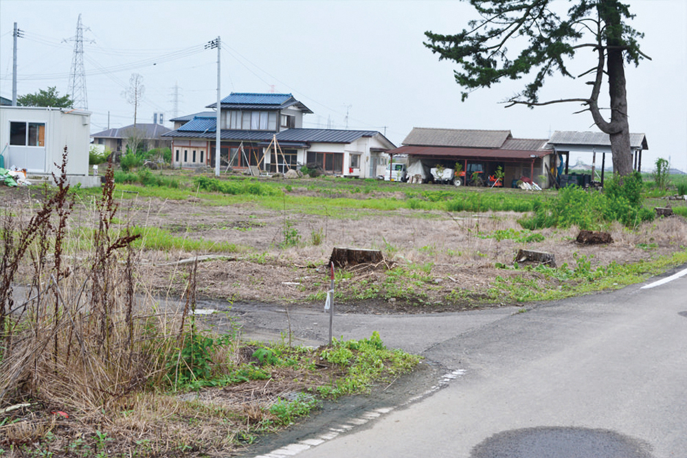
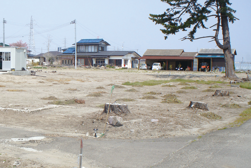
2013年7月19日
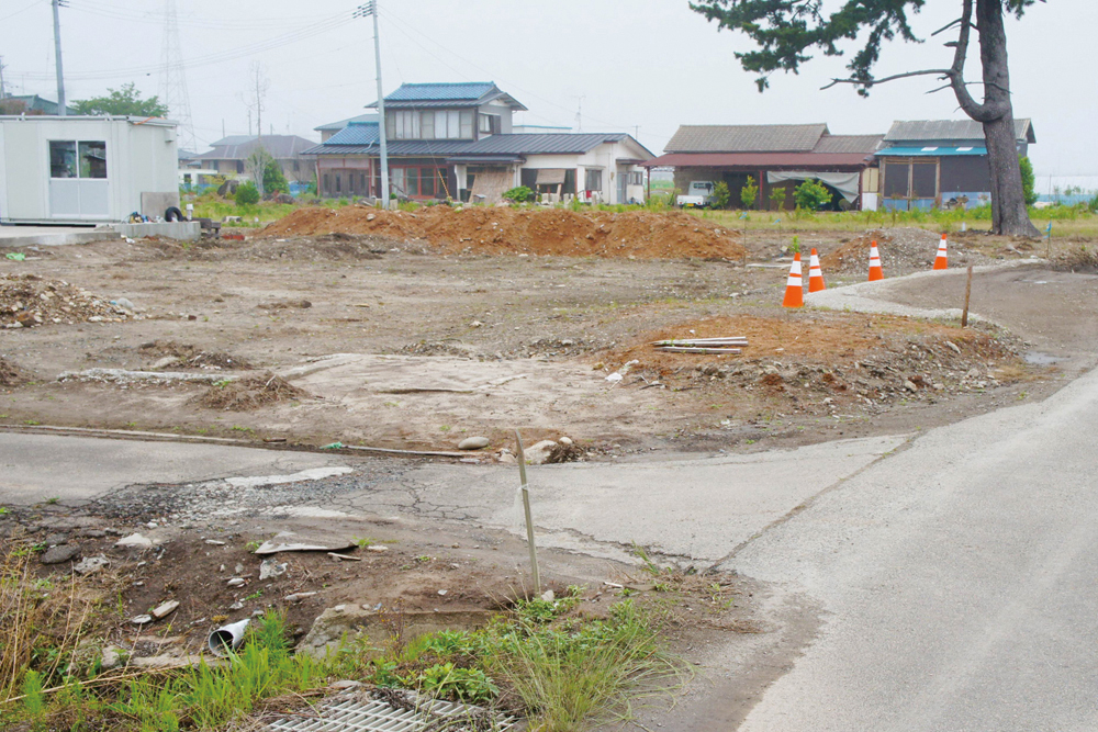
2014年4月27日
2015年6月13日
仙台市宮城野区の沿岸部、南蒲生地区。
その海側に位置する南蒲生浄化センターが壁となり、津波の力を弱めたことで、津波の高さは1階天井近くまで達しながらも家屋は流失を免れた。そのため、多くの家が現地再建できたという。
The Minamigamou area lies along the coast of Miyagino-ku, Sendai. The Minamigamou Purification Center acted like a wall, lessening the impact of the tsunami. Consequently, the tsunami reached just under ground-floor ceiling height and many houses were saved. It’s said that many families were able to rebuild on the same site because of this.
- 記録場所
- 宮城県仙台市宮城野区蒲生原屋敷35
(緯度 38.254665 / 経度 140.9919) - 記録者
- 2001年 髙橋親夫
2013-2015年 特定非営利活動法人 都市デザインワークス
南蒲生地区定点観測写真について
これらの記録写真は、特定非営利活動法人 都市デザインワークスが専門家や地元住民と一緒に取り組む「みんなの居久根創出プロジェクト」の一環として、30年にわたり地元の街なみを記録し続ける髙橋親夫氏が震災前に撮影した南蒲生地区の写真を基に、同法人が震災後も同じ場所で撮影したものです。