


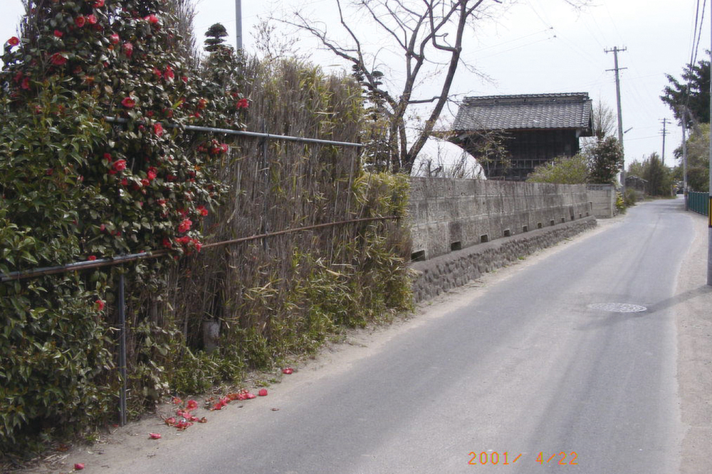
2001年4月22日
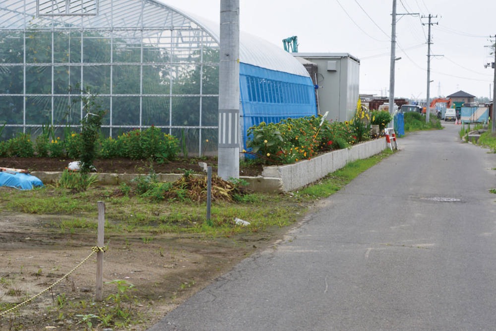
2013年7月19日
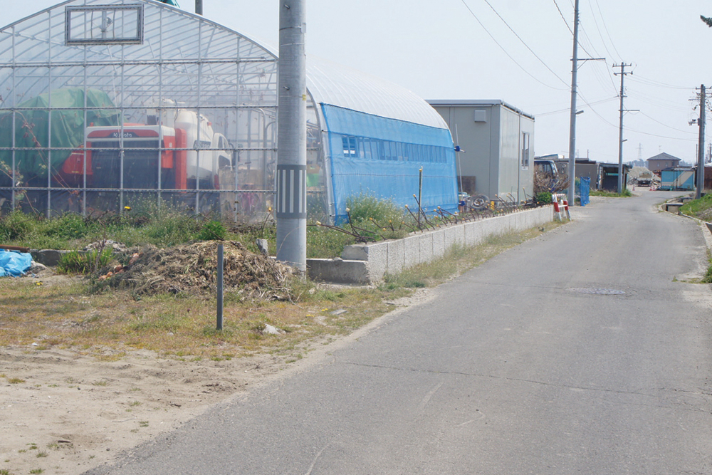
2014年4月27日

2015年6月13日
震災前、手前の屋敷は椿と葦簀の生け垣に囲まれ、庭は手入れされていた。震災後、奥の蔵がある屋敷ではビニールハウスを建て、野菜や花を栽培している。
Before the disaster, the mansion in the foreground was surrounded by a hedge of camellia and reeds. It had a well-tended garden. After the disaster, a vinyl house was erected in the grounds of the mansion that has the warehouse, and they grew vegetables and flowers.
- 記録場所
- 宮城県仙台市宮城野区蒲生鍋沼51
(緯度 38.254019 / 経度 140.989832) - 記録者
- 2001年 髙橋親夫
2013-2015年 特定非営利活動法人都市 デザインワークス
南蒲生地区定点観測写真について
これらの記録写真は、特定非営利活動法人 都市デザインワークスが専門家や地元住民と一緒に取り組む「みんなの居久根創出プロジェクト」の一環として、30年にわたり地元の街なみを記録し続ける髙橋親夫氏が震災前に撮影した南蒲生地区の写真を基に、同法人が震災後も同じ場所で撮影したものです。