


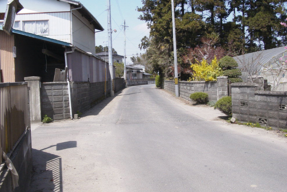
2001年4月22日
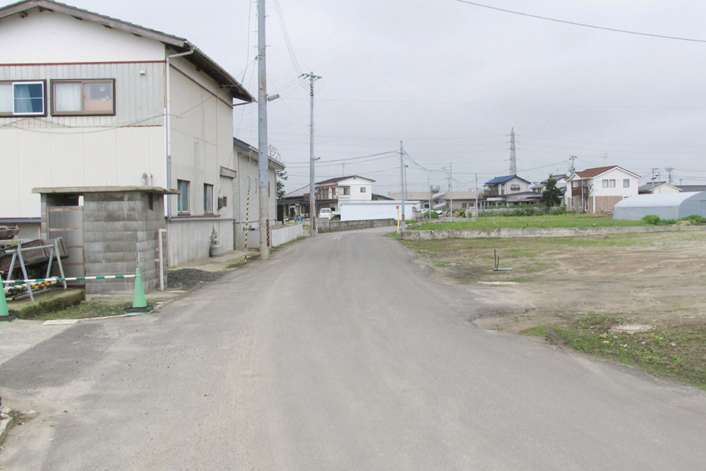
2013年7月19日
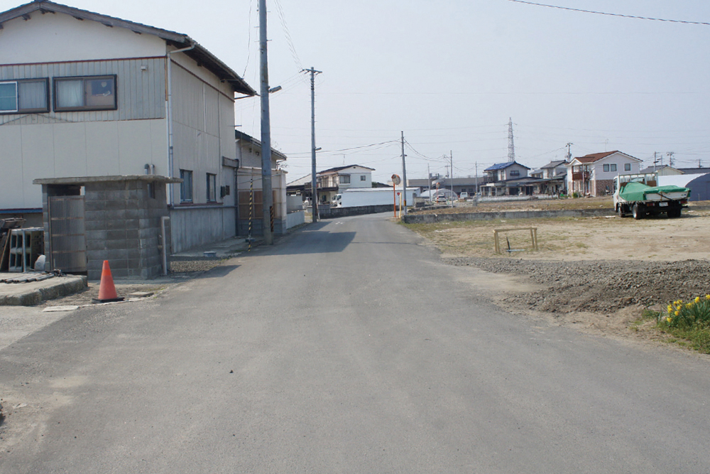
2014年4月27日
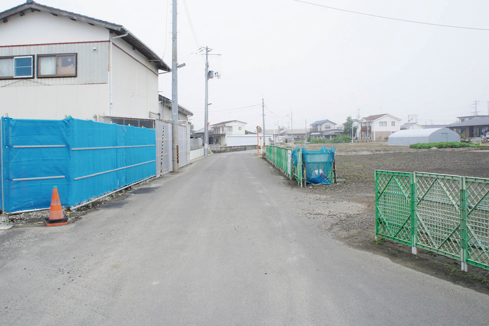
2015年6月13日
震災前、道路の右手には、地区で一番と讃えられるほど立派な居久根があった。
Before the disaster, an igune (homestead woods) so magnificent that it was praised as being the best in the area, used to stand on the right-hand side of the road.
- 記録場所
- 宮城県仙台市宮城野区蒲生下蒲沼4
(緯度 38.252818 / 経度 140.990124) - 記録者
- 2001年 髙橋親夫
2013-2015年 特定非営利活動法人 都市デザインワークス
南蒲生地区定点観測写真について
これらの記録写真は、特定非営利活動法人 都市デザインワークスが専門家や地元住民と一緒に取り組む「みんなの居久根創出プロジェクト」の一環として、30年にわたり地元の街なみを記録し続ける髙橋親夫氏が震災前に撮影した南蒲生地区の写真を基に、同法人が震災後も同じ場所で撮影したものです。